

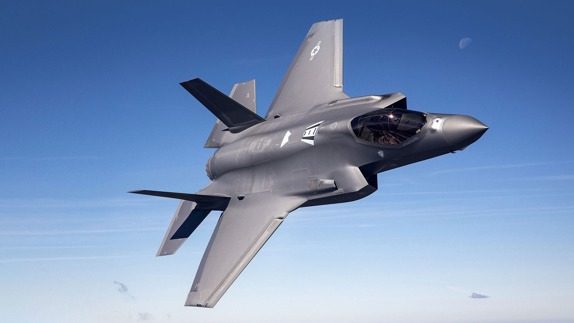

Solving the world’s most complex geospatial challenges for defense, civil and commercial missions.

Multi-INT Data Fusion
See the full picture.
Precision Terrain & Digital Twins
Model the real world.

AI-Powered GEOINT Analytics
Find what matters, faster.

Cloud-Native Production at Scale
Deliver intelligence, globally.
From Data to Decision – at the Speed of Mission

Collect
Multi-source imagery and sensor data

Process
GPU-accelerated geospatial processing

Analyze
AI/ML models extract insights and patterns
Produce
3D terrain, analytics and mission-ready products
Deliver
Actionable intelligence to the edge
Core Capabilities
Purpose-built to power the next generation of GEOINT.

AI & Machine Learning
Auto feature extraction
Object & activity detection
Change detection
Enhanced analytics

Terrain & 3D
Digital twins
PrecisionTerrain®
Mesh generation
Elevation products

Geospatial Processing
GPU acceleration
Containerized workflows
Workflow automation
Cloud and edge deployment

Open & Integrated
Open APIs
Commercial imagery
Government sensors
Hybrid cloud
Industry-Leading Commercial Geospatial Products
The U.S Government utilizes OR3D® and R3D® to process geospatial data
covering one-fifth of the Earth’s landmass each year.


